
-
Category:
- Resources
What is GIS? GIS = Geographic Information System. What does that mean in layman’s terms?
GIS is about gathering, managing, and analyzing data — integrating geographic information within layers of data into tables, graphs, and maps to make data more visually presentable. GIS reveals patterns, relationships, and situations, helping users make informed decisions.
Over the years, technology has changed the way we look at the world. Today, we are using spatial analysis to evaluate projections, assumptions, and estimates. Rather than numbers listed on a spreadsheet, we can leverage GIS technology to see what others can’t.
Hundreds of thousands of organizations in virtually every profession are leveraging GIS to create maps that communicate, share, and address complex problems across the globe.
The Role of GIS Technology in Urban Planning?
Cities are constantly evolving, which is why GIS has been an important tool for urban planners. GIS technology has helped inform project alternatives. The importance of GIS lies in its ability to pull together the vast amounts of information necessary to balance competing priorities and solve complicated problems — optimizing new land uses to accommodate growing populations.
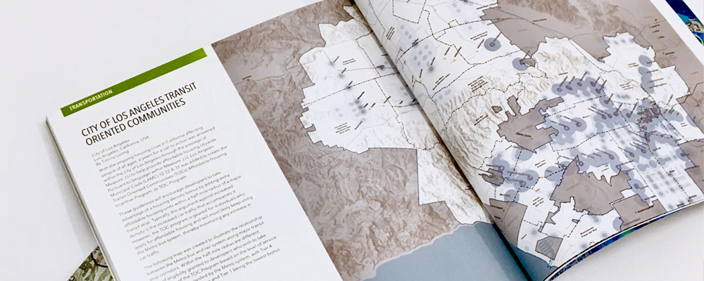
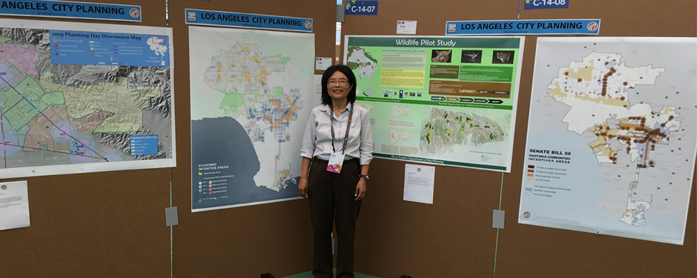
Applying GIS Technology to Aid and Abet Planning in Los Angeles
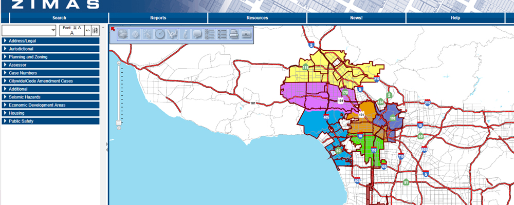
The Los Angeles City Planning Department has developed the Zone Information and Map Access System (ZIMAS). ZIMAS is an invaluable GIS resource that stores citywide Zoning and Land Use information for the public to access via the internet. You can access ZIMAS utilizing their web browser or smartphone app, allowing for easy to access information.

Planning staff also use sophisticated GIS desktop and web mapping software to perform citywide statistical analysis and projections as we plan for future population, housing and employment growth. Our application of GIS is intended to serve the end user: the everyday Angeleno, be it a resident (renter or homeowner) or small business owner!
By: Timmy Luong, GIS Supervisor | Los Angeles City Planning Department