Bel Air - Beverly Crest Community Plan
Staff Contact: Project Review
Esteban Martorell
esteban.martorell@lacity.org
(213) 978-1303
Esteban Martorell
esteban.martorell@lacity.org
(213) 978-1303
Staff Contact: Plan Policies
Esteban Martorell
esteban.martorell@lacity.org
(213) 978-1303
General Information:
West Los Angeles Public Counter: (310) 231-2598
The Bel Air-Beverly Crest Community Plan was last updated in 1998. It is anticipated that the Department will begin a plan update process in 2021 (approximate).
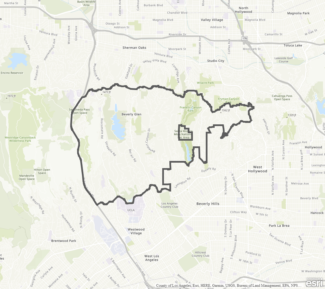
The Community Plan area includes the neighborhoods of Laurel Canyon, Laurel Hills, Lookout Mountain, Wonderland Park, Coldwater Canyon, Franklin Canyon, Benedict Canyon, Beverly Glen, Casiano Estates, Glenridge, Roscomare Valley, Bel Air Crest and Summitridge.
Adopted Maps
These maps represent official documents that were approved by the City Council. These commonly show land and development rules and regulations by graphic representation.
Interactive Maps
These maps have multiple layers that can be selected to show resources, landmarks, government faculties and services, and other information that is pulled from multiple sources.
Informational Maps
These maps are for informational purposes only.