Chatsworth - Porter Ranch Community Plan
Staff Contact: Project Review
Olga Ayala
(818) 374-5042
olga.ayala@lacity.org
Correy Kitchens
(818) 374-5034
correy.kitchens@lacity.org
Renata Ooms
(213) 978-1222
renata.ooms@lacity.org
Olga Ayala
(818) 374-5042
olga.ayala@lacity.org
Correy Kitchens
(818) 374-5034
correy.kitchens@lacity.org
Renata Ooms
(213) 978-1222
renata.ooms@lacity.org
Staff Contact: Plan Policies
Lucy Martinez (818) 374-5058
lucy.martinez@lacity.org
General Information:
Valley Public Counter: (818) 374-5050
The Chatsworth-Porter Ranch Community Plan was last updated in 1993. It is anticipated that the Department will begin a plan update process in 2024.
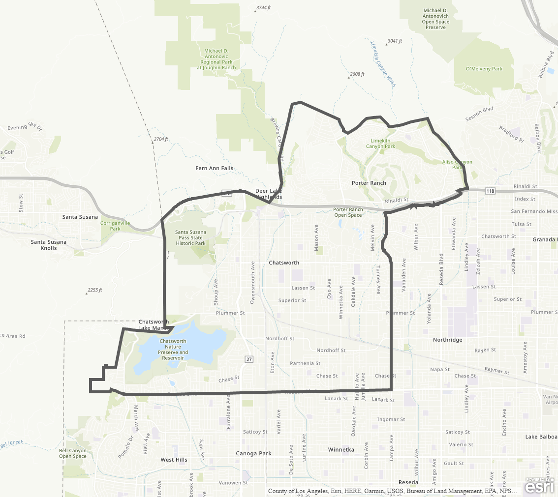
The Community Plan Area includes the neighborhoods of Chatsworth, Porter Ranch, as well as Santa Susana Pass Historic Park and Chatsworth Nature Preserve and Reservoir.
Adopted Maps
These maps represent official documents that were approved by the City Council. These commonly show land and development rules and regulations by graphic representation.
Interactive Maps
These maps have multiple layers that can be selected to show resources, landmarks, government faculties and services, and other information that is pulled from multiple sources.
Informational Maps
These maps are for informational purposes only.