Encino - Tarzana Community Plan
Staff Contact: Project Review
Laura Frazin Steele (818) 374-9919
laura.frazinsteele@lacity.org
Courtney Yellen (818) 374-5059
courtney.yellen@lacity.org
Kristine Jegalian (213) 675-6769
kristine.jegalian@lacity.org
Laura Frazin Steele (818) 374-9919
laura.frazinsteele@lacity.org
Courtney Yellen (818) 374-5059
courtney.yellen@lacity.org
Kristine Jegalian (213) 675-6769
kristine.jegalian@lacity.org
Staff Contact: Plan Policies
Miguel Hernandez (818) 374-5066
miguel.hernandez@lacity.org

General Information:
Valley Public Counter: (818) 374-5050
The Encino - Tarzana Community Plan currently in effect was adopted in 1997. A community plan update process is actively underway; please see above for link and information on current status and how to get involved.
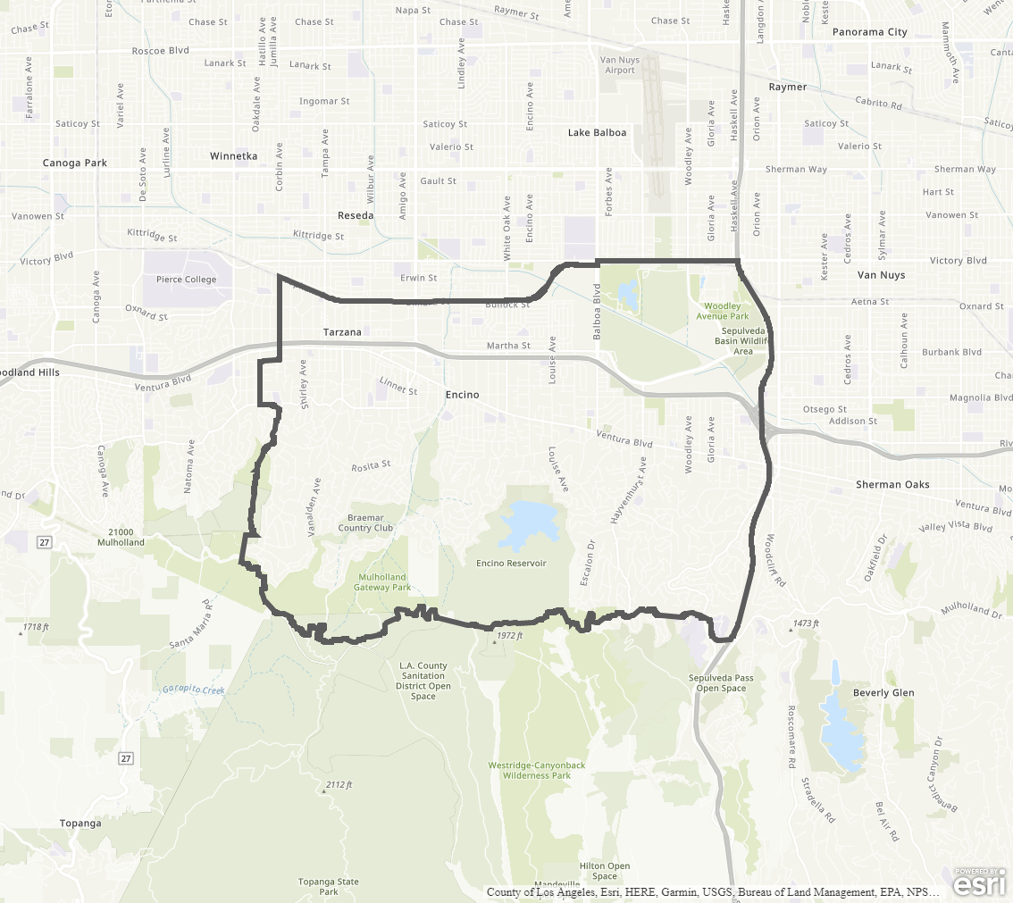
The Community Plan area includes the neighborhoods of Encino and Tarzana.
Adopted Maps
These maps represent official documents that were approved by the City Council. These commonly show land and development rules and regulations by graphic representation.
Interactive Maps
These maps have multiple layers that can be selected to show resources, landmarks, government faculties and services, and other information that is pulled from multiple sources.
Informational Maps
These maps are for informational purposes only.