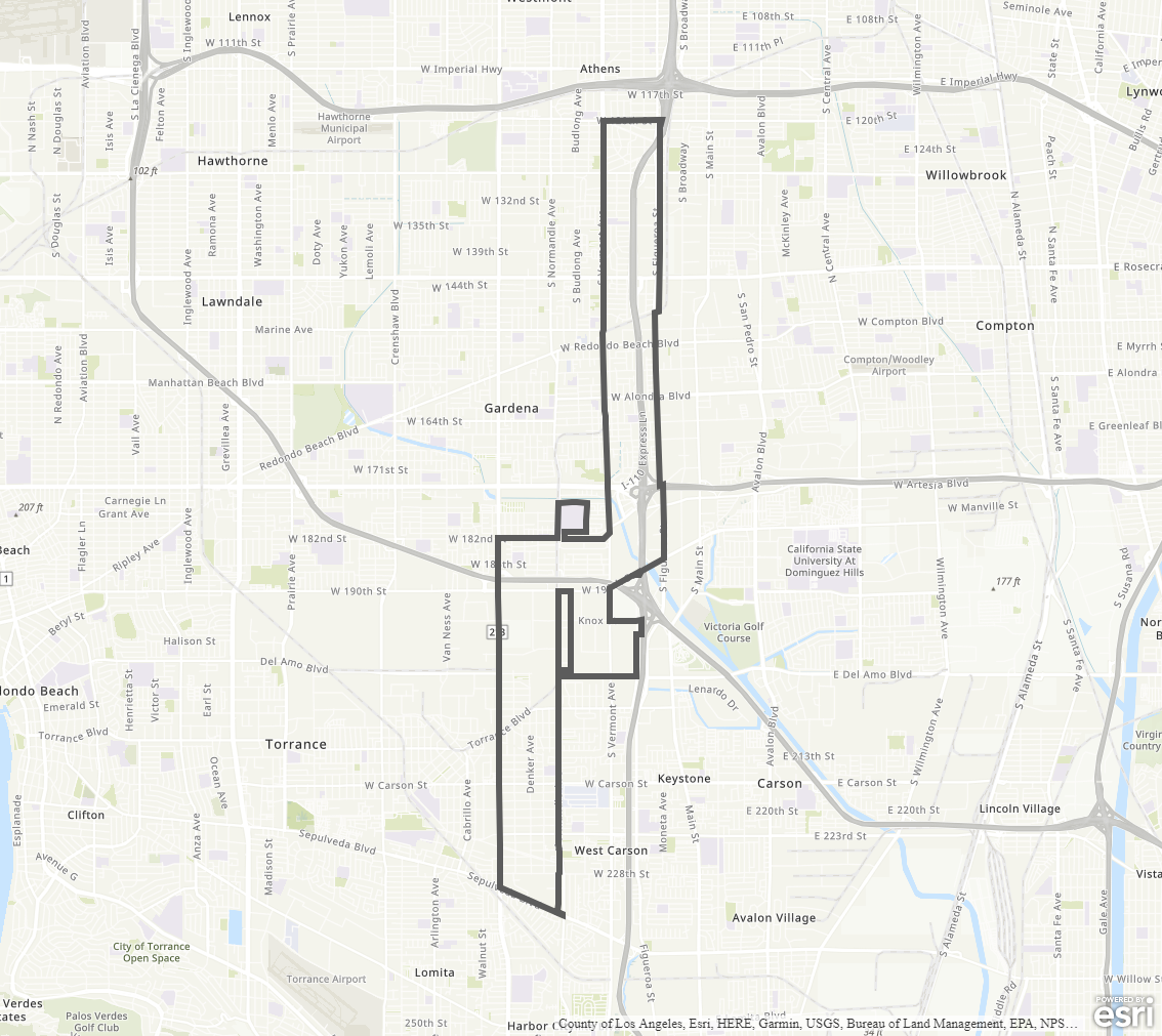
Harbor Gateway Community Plan
Staff Contact: Project Review
Norali Martinez 213-202-5441
Norali.Martinez@lacity.org
Norali Martinez 213-202-5441
Norali.Martinez@lacity.org
Staff Contact: Plan Policies
Christopher Pina (213) 978-1369
christopher.pina@lacity.org

General Information:
Metro Public Counter: (213) 482-7077
The Harbor Gateway Community Plan Area was last updated in 1996. A community plan update process is actively underway; please see above for link and information on current status and how to get involved.
Harbor Gateway plays an important role by connecting the City of Los Angeles. The community envisions a Harbor Gateway with improved transit connections, pedestrian oriented development, park facilities and open space, and clean industrial uses that will contribute to a healthy and active environment.
Adopted Maps
These maps represent official documents that were approved by the City Council. These commonly show land and development rules and regulations by graphic representation.
Interactive Maps
These maps have multiple layers that can be selected to show resources, landmarks, government faculties and services, and other information that is pulled from multiple sources.
Informational Maps
These maps are for informational purposes only.