Northeast Los Angeles Community Plan
Staff Contact: Project Review
Linda Lou (213) 978-1473
linda.lou@lacity.org
Linda Lou (213) 978-1473
linda.lou@lacity.org
Staff Contact: Plan Policies
Ulises Gonzalez (213) 978-1205
Ulises.Gonzalez@lacity.org
General Information:
Metro Public Counter: (213) 482-7077
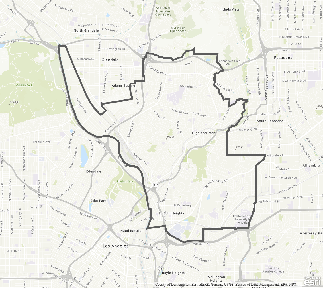
The Northeast Los Angeles Community Plan was last updated in 1999.
The Community Plan area includes the neighborhoods of Atwater Village, Cypress Park, Eagle Rock, El Serreno, Garvanza, Glassell Park, Highland Park, Hermon, Lincoln Heights, Montecito Heights, Monterey Hills, and Mount Washington, among others.
Adopted Maps
These maps represent official documents that were approved by the City Council. These commonly show land and development rules and regulations by graphic representation.
Interactive Maps
These maps have multiple layers that can be selected to show resources, landmarks, government faculties and services, and other information that is pulled from multiple sources.
Informational Maps
These maps are for informational purposes only.