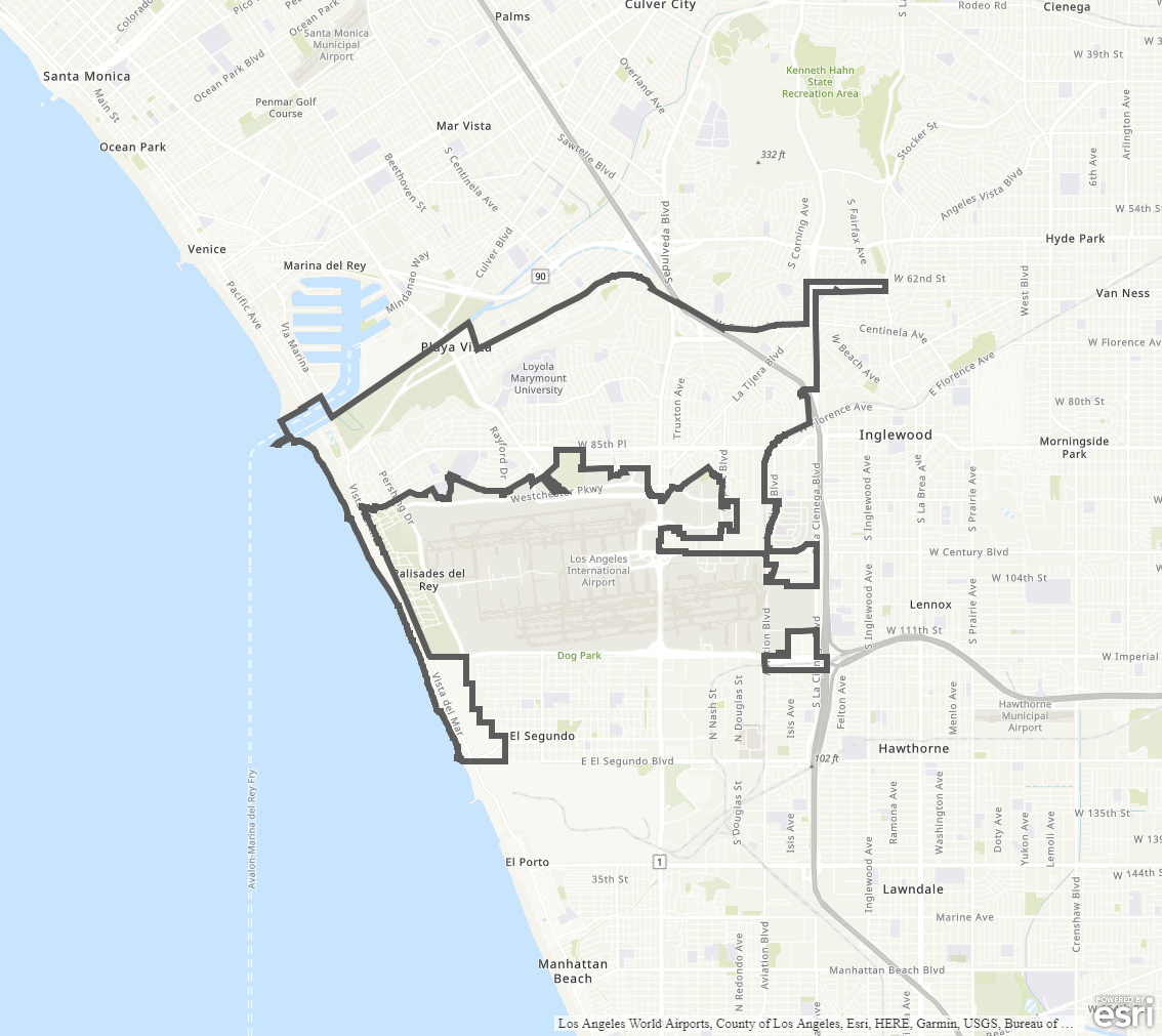
Westchester - Playa del Rey Community Plan
Staff Contact: Project Review
Caelan Rafferty
(213-978-1197)
Caelan.Rafferty@lacity.org
Caelan Rafferty
(213-978-1197)
Caelan.Rafferty@lacity.org
Staff Contact: Plan Policies
Benjamin Sullivan (213) 978-1281
benjamin.sullivan@lacity.org

General Information:
West Los Angeles Public Counter: (310) 231-2598
The Westchester - Playa del Rey Community Plan currently in effect was adopted in 2004. A community plan update process is actively underway; please see above for link and information on current status and how to get involved.
The Community Plan area includes the neighborhoods of Westchester, Playa del Rey, and Playa Vista.
Adopted Maps
These maps represent official documents that were approved by the City Council. These commonly show land and development rules and regulations by graphic representation.
Interactive Maps
These maps have multiple layers that can be selected to show resources, landmarks, government faculties and services, and other information that is pulled from multiple sources.
Informational Maps
These maps are for informational purposes only.