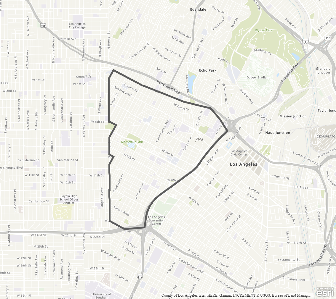
Westlake Community Plan
Staff Contact: Project Review
Marie Pichay
(213) 978-1470
marie.pichay@lacity.org
Marie Pichay
(213) 978-1470
marie.pichay@lacity.org
Staff Contact: Plan Policies
Brittany Arceneaux (213) 978-1911
brittany.arceneaux@lacity.org
General Information:
Metro Public Counter: (213) 482-7077
The Westlake Community Plan was last updated in 1997.
The Community Plan area includes the neighborhoods of Historic Filipinotown, Pico-Union, Rampart Village, and Westlake, among others.
Adopted Maps
These maps represent official documents that were approved by the City Council. These commonly show land and development rules and regulations by graphic representation.
Interactive Maps
These maps have multiple layers that can be selected to show resources, landmarks, government faculties and services, and other information that is pulled from multiple sources.
Informational Maps
These maps are for informational purposes only.