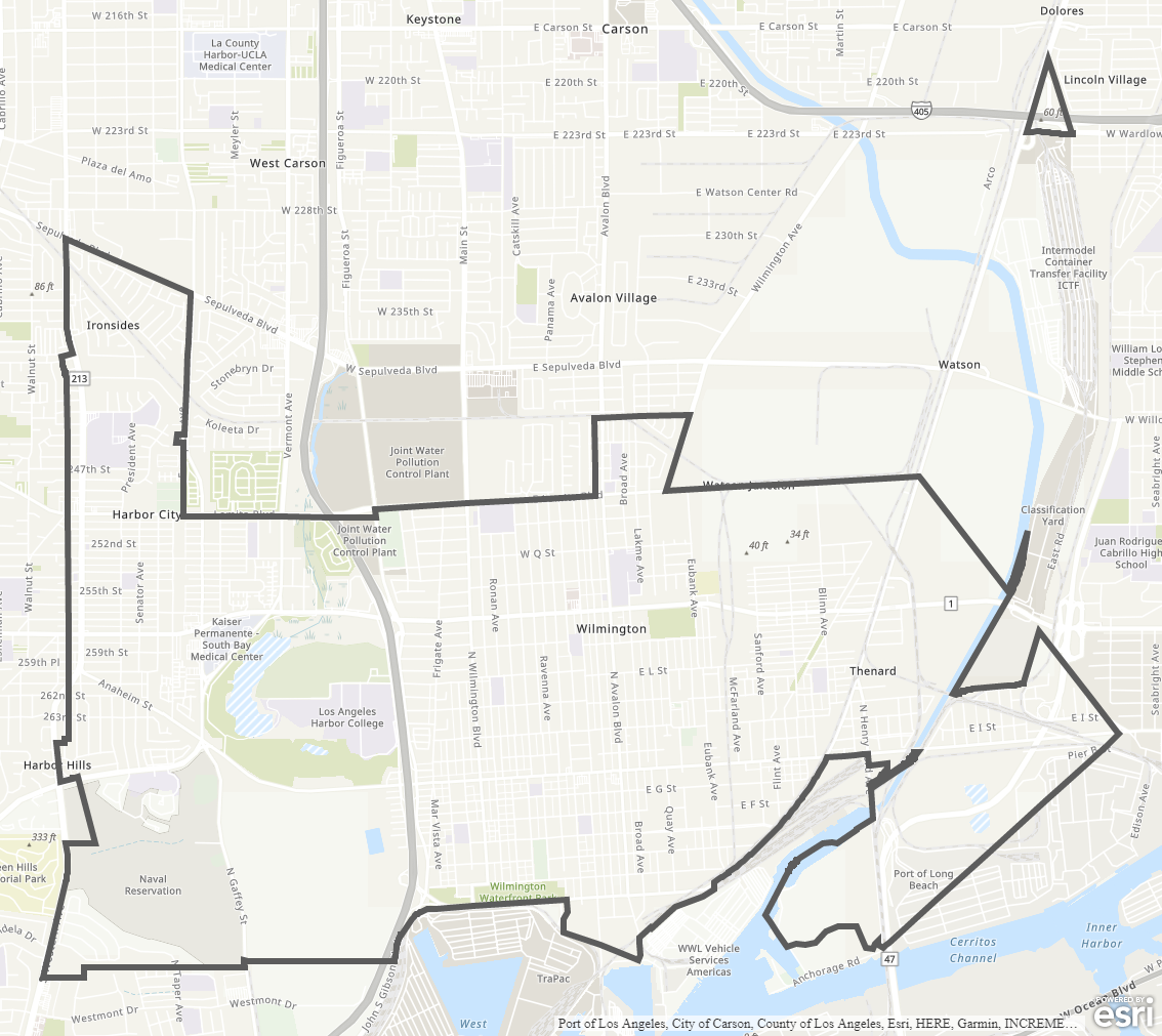
Wilmington - Harbor City Community Plan
Staff Contact: Project Review
Norali Martinez 213-202-5441
norali.martinez@lacity.org
Norali Martinez 213-202-5441
norali.martinez@lacity.org
Staff Contact: Plan Policies
Jessica Alvarado (213) 978-1221
jessica.alvarado@lacity.org

General Information:
Metro Public Counter: (213) 482-7077
The Wilmington-Harbor City Community Plan was last updated in 1999. A community plan update process is actively underway; please see above for link and information on current status and how to get involved.
Building upon its relationship to the harbor and the Port of Los Angeles, the communities of Wilmington and Harbor City are envisioning a plan that will improve upon the quality of life for current and future community members by supporting clean industrial uses and making connections to the waterfront that serve to increase economic vitality and create a healthy and active environment.
Adopted Maps
These maps represent official documents that were approved by the City Council. These commonly show land and development rules and regulations by graphic representation.
Interactive Maps
These maps have multiple layers that can be selected to show resources, landmarks, government faculties and services, and other information that is pulled from multiple sources.
Informational Maps
These maps are for informational purposes only.