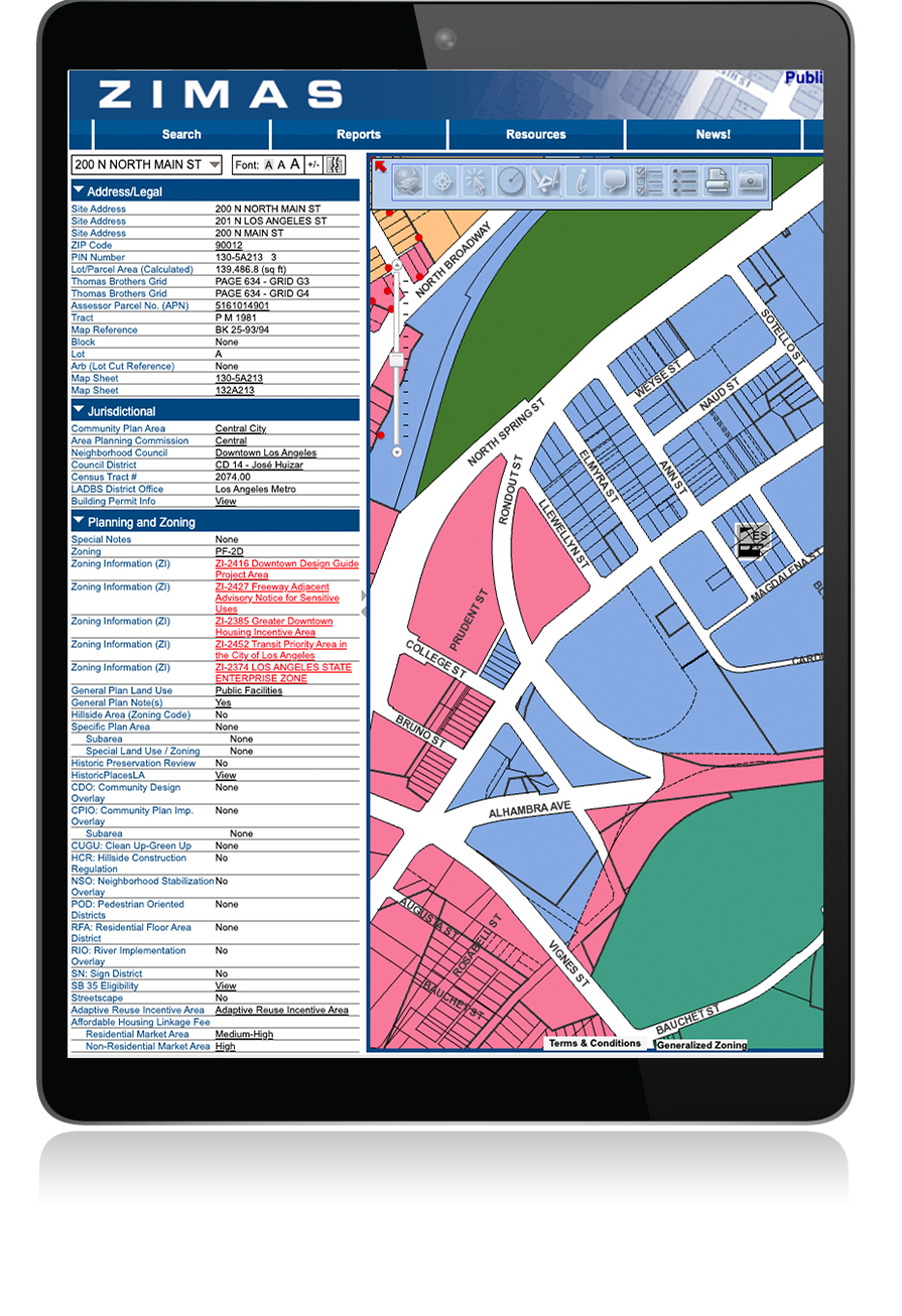
The Zone Information and Map Access System (ZIMAS) is a web-based mapping tool that provides zoning information for properties located in Los Angeles. ZIMAS was developed by City Planning to assist residents and businesses in making better informed land use decisions. The online mapping system is used to look up property information, ranging from a parcel’s land use and zoning designations to its planning application and building permit history.
The ZIMAS application is designed to provide zoning related information for specific properties. You can search ZIMAS by: Property Address, Street Intersection, Assessor Parcel Number, Case Number, Community Plan Area, Council District, Certified Neighborhood Council, PIN Number, Legal Description, and MapSheet.